‘Humanitarians often don’t stop for Christmas in the Philippines’- I was speaking to a group of front-line humanitarian workers from different agencies across Manila. We were discussing the typhoon season which was underway. Talk of impending typhoons seemed at odds with the flurry of Christmas decorations covering Manila’s streets and the upbeat carols being blasted in most public restaurants. ‘Since the 90s, we’ve been impacted by almost 600 natural disasters’- it was becoming clearer why the humanitarian community never stopped here!
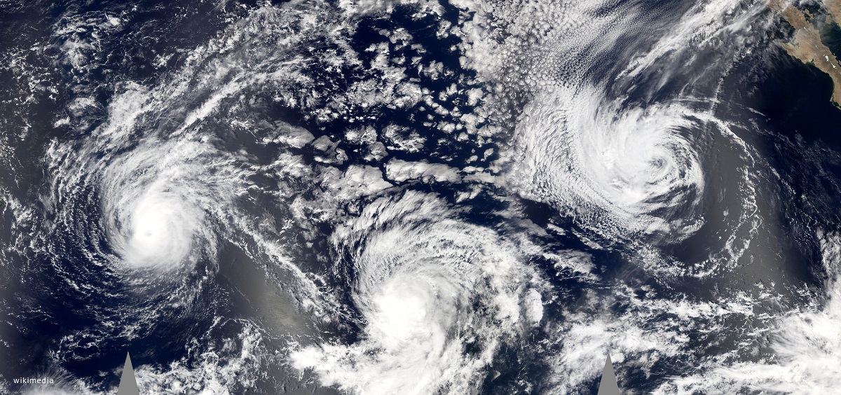
The term typhoon is the regional name in the northwest Pacific for a very severe tropical cyclone. Normally typhoons come with the wet season, which begins between June or July and lasts until November or December.
Typically, 20 tropical cyclones enter the Philippines on a yearly basis- and some of them will develop into typhoons or super typhoons. Between 2006 and 2016, 65% of the tropical cyclones which entered the Philippines made landfall- and wreaked all kinds of havoc on the communities within their paths. The deadliest tropical cyclone to impact the Philippines was typhoon Haiphong which killed up to 20,000 people as it passed over the country in September 1881.
Just a few days after the ominous discussion that I had with the humanitarian community in Manila, on Christmas day, storm Usman entered the Philippines. Fifty-seven people died in the Bicol region, southeast of Manila. 11 were killed in the central island of Samar, mostly due to landslides and drownings. Storm Usman emerged as the deadliest weather disaster for the country this year, after typhoon Mangkhut in September.
For those of us working to respond early to forecasted disasters with the aim of mitigating the predicted impacts- cyclones are an exceptionally tricky nut to crack. But it is so critical that we do- particularly in a context like the Philippines where the human and economic costs of these storms are staggering.
One of the reasons cyclones are so difficult to anticipate is because we have a credible forecast only three days in advance of a storm making landfall- and there are still considerable uncertainties involved. This means that we have a lead-time of only three days to implement anticipatory humanitarian action. Given this challenge (and a variety of others) Start members have never been able to use the Start Fund’s Crisis Anticipation Window to respond early to cyclones. We hope to change this in the future.
Start Members and the Philippines Red Cross convened in Manila in December to discuss how cyclones can be better anticipated moving forward. The group discussed the challenge of anticipating cyclones, but also began a conversation about how the Red Cross and the Start Network can work together in the future to better anticipate cyclones. Start members were also keen to learn from the Red Cross’s Early Action Plan (EAP) for typhoons. During the discussion, pertinent questions emerged which will continue to be taken forward such as:
- How does the Start Fund’s Crisis Anticipation Window need to be adapted in order to make anticipatory action for cyclones possible?
- What triggers and agreements need to be put in place in advance in order to make anticipatory action possible?
- Although the lead-time is short, what are relevant anticipatory humanitarian actions?
Crisis anticipation is key for a context like the Philippines, which ranked third on the World Risk Index of the most disaster-prone countries in the world. It experiences almost all forms of natural and man-made disasters such as typhoons, earthquakes, floods, volcanic eruptions, landslides, fires and armed conflict. In other words- the humanitarian community has its hands full! With these hazards and risks far outweighing limited humanitarian resources available, the need for crisis anticipation only becomes clearer. The Start Network will continue to work with members and partners to build the necessary tools and guidance so that members can better anticipate cyclones moving forward.

